Flux Go — Unified Data-to-Insight Geospatial SaaS
Unified data-to-insight platform with drag-and-drop dashboards, interactive web maps, and spatial surveys — turning complex geospatial data into visual stories without writing code.
The Challenge
Fragmented toolchain — spreadsheets on one drive, map files on another. Turning a dataset into a dashboard required coding. GIS tools were overkill. Field data collection was a manual loop.
Our Approach
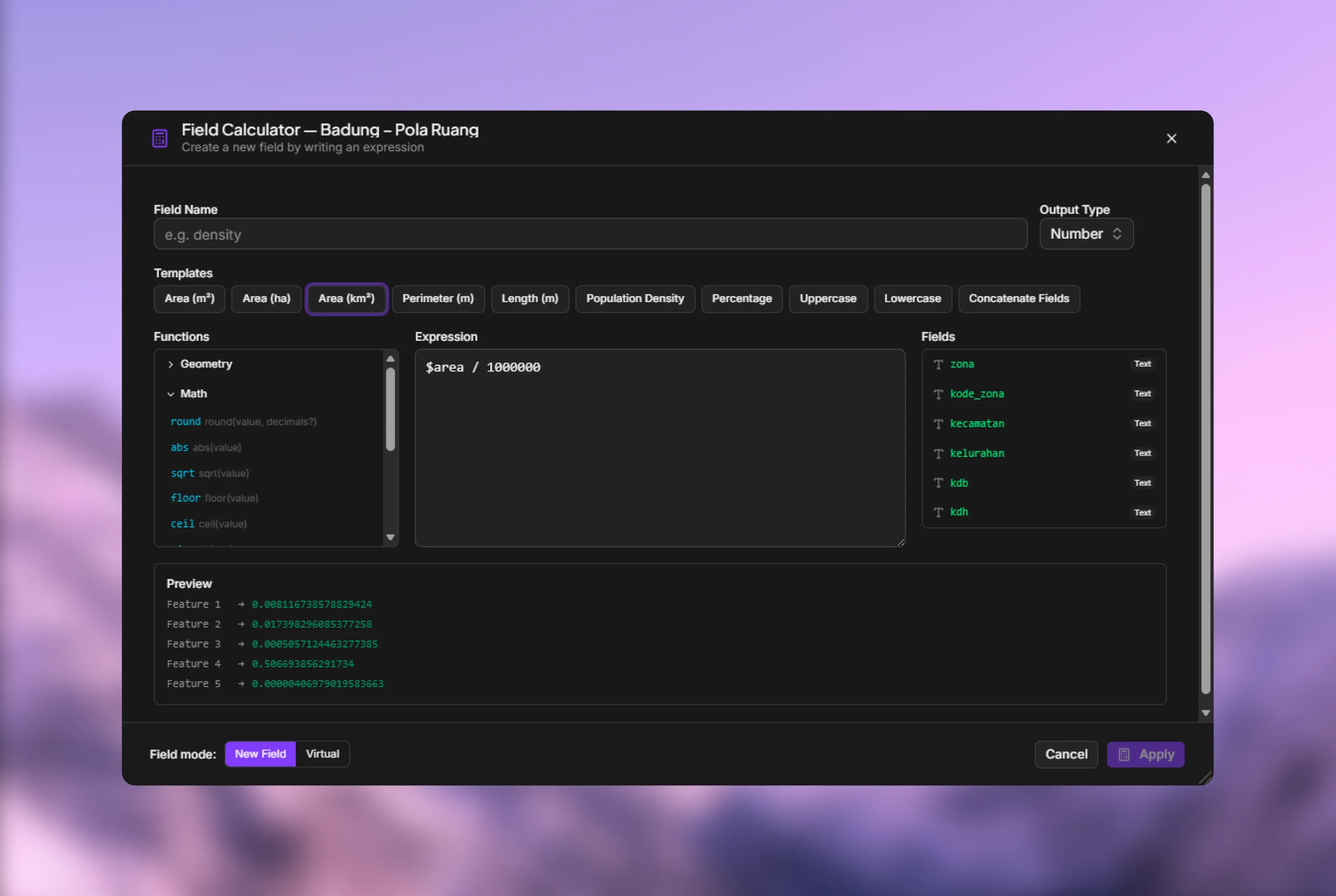
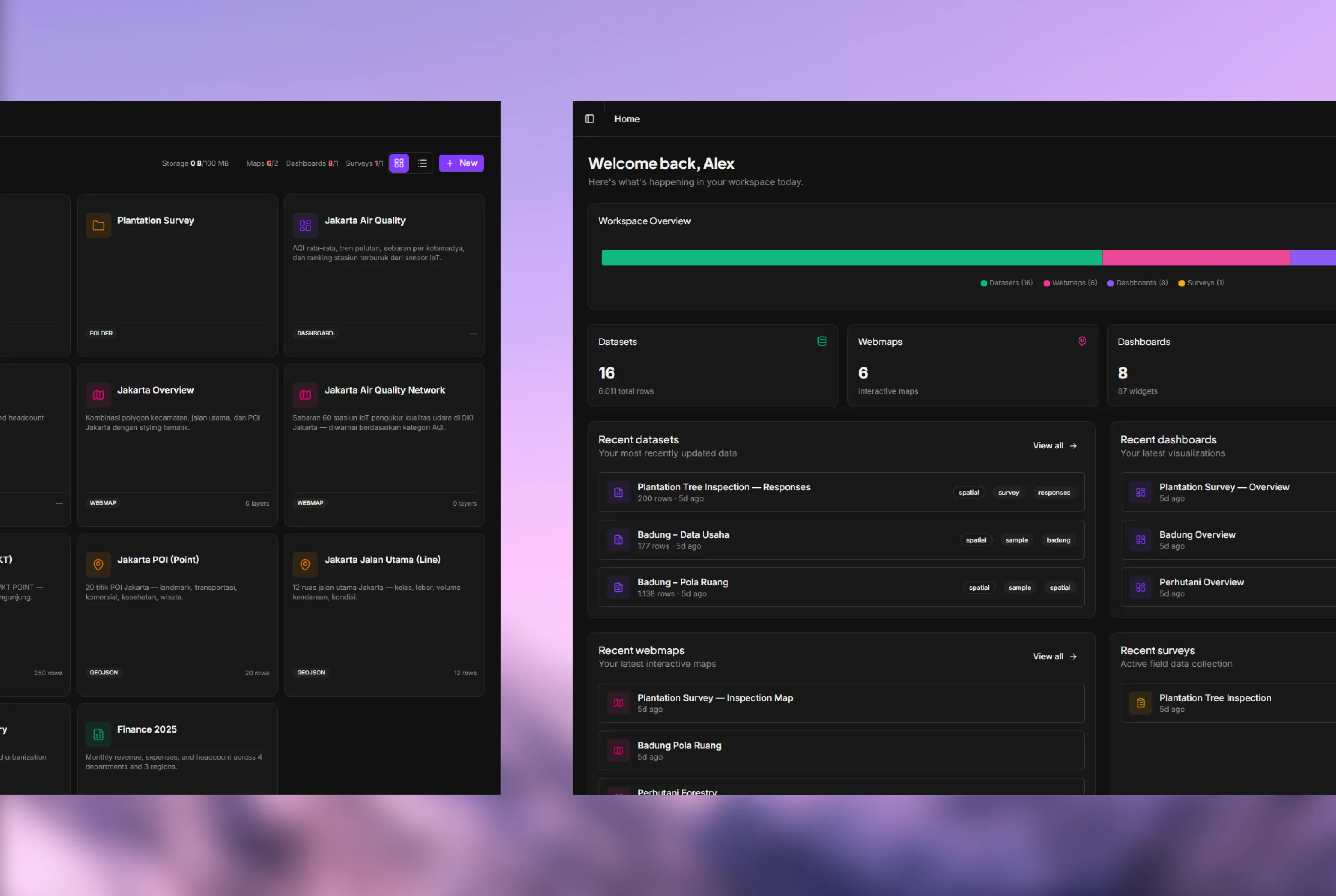
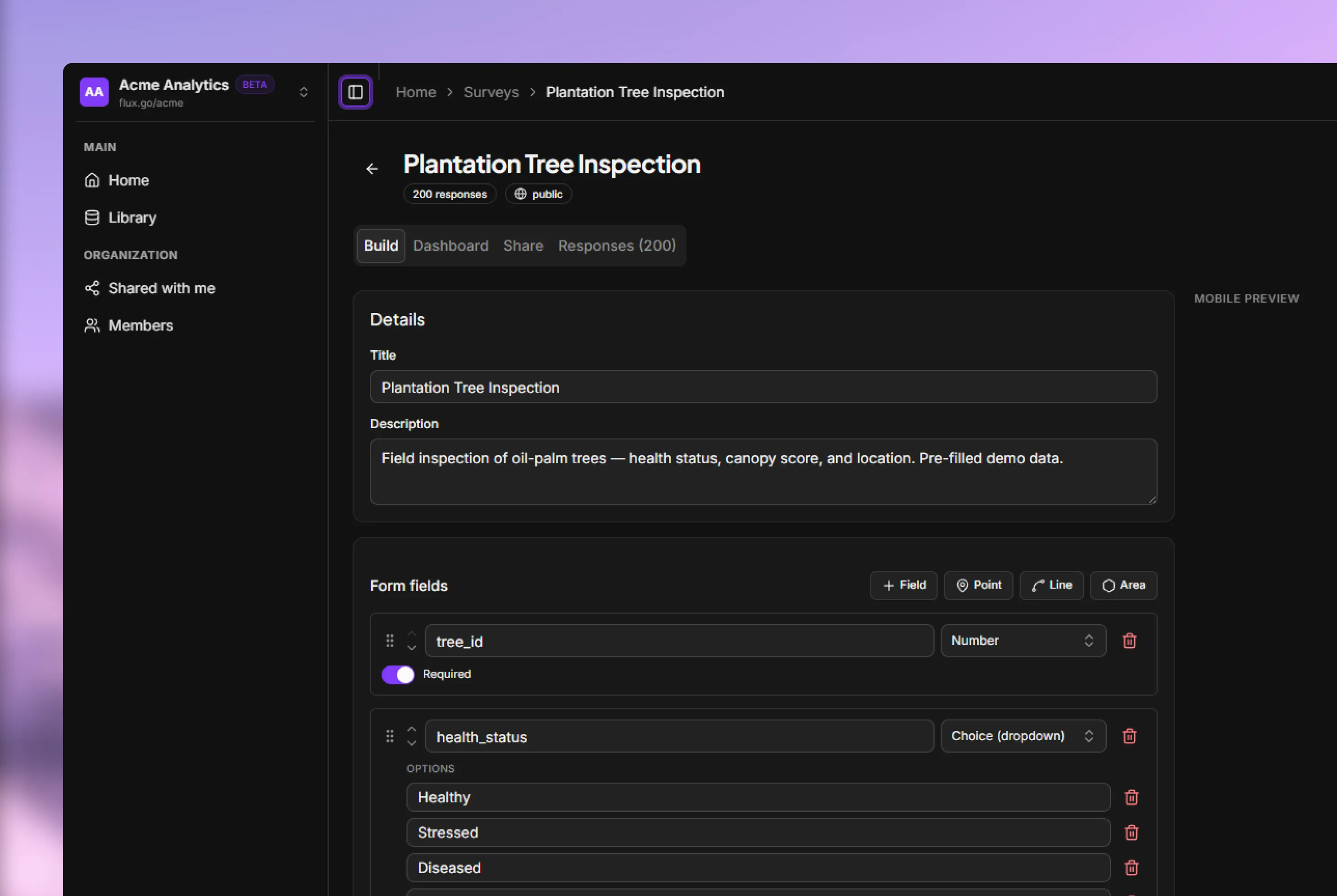
Made the Dataset the universal primitive — survey response, file upload, dashboards, maps, and charts all read from the same Dataset. Four Experience Pillars: Library (upload/organize/version), Dashboards (drag-and-drop canvas), Webmaps (interactive spatial canvas with visual query builder), Surveys (GPS-tagged live responses). Design Principles: Progressive Disclosure, Honest Status, Match User's Vocabulary, Reversibility.
The Results
Collapsed 5-to-7-tool workflow into a single platform. 100+ features across 10 capability areas.
Key Features
- Dataset as universal primitive — one source for dashboards, maps, and surveys
- Library — upload, organize, and version control spatial data
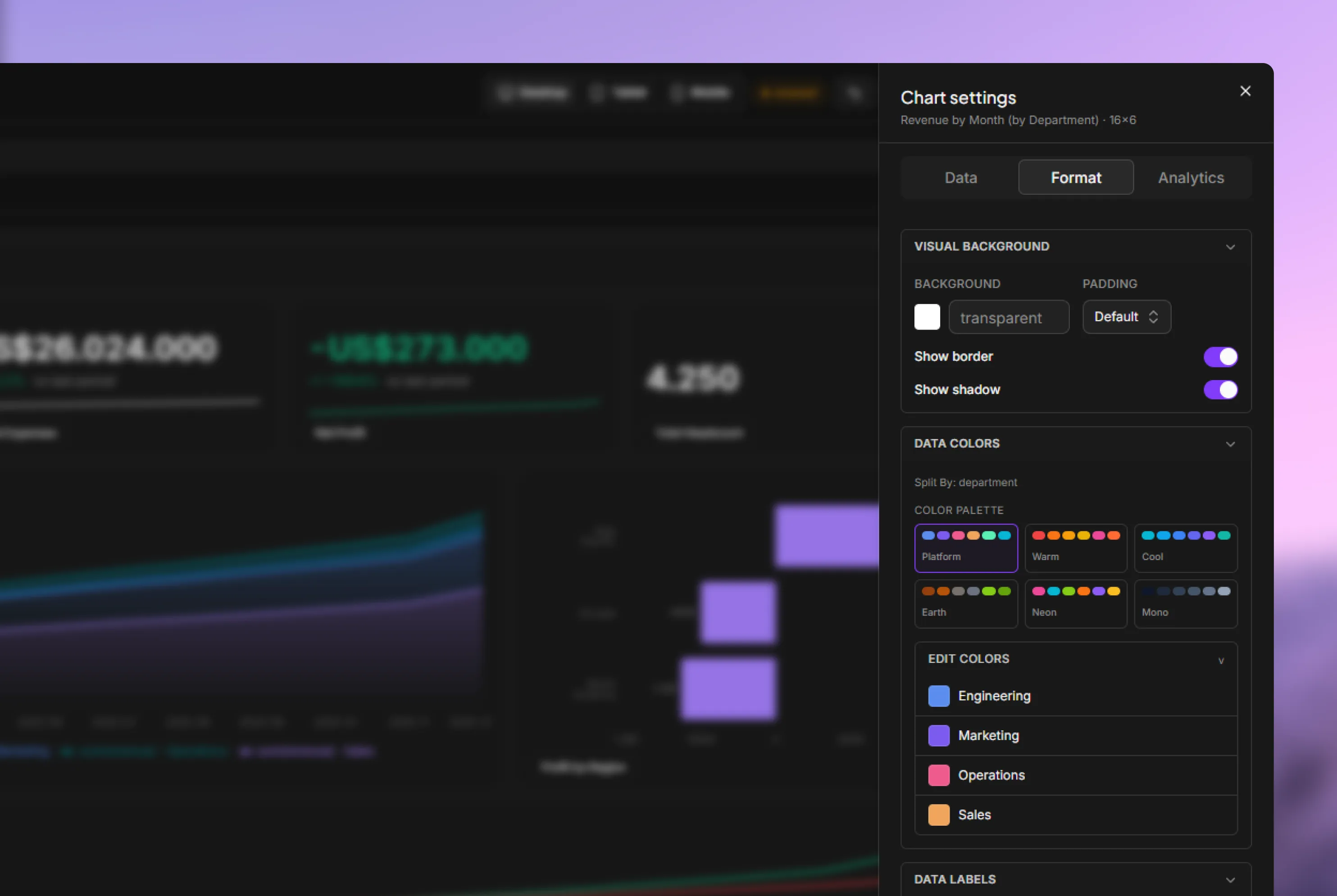
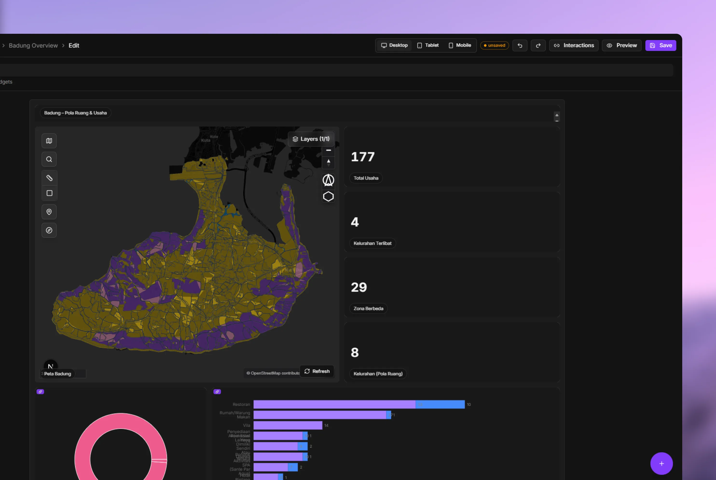
- Dashboards — drag-and-drop canvas for data visualization
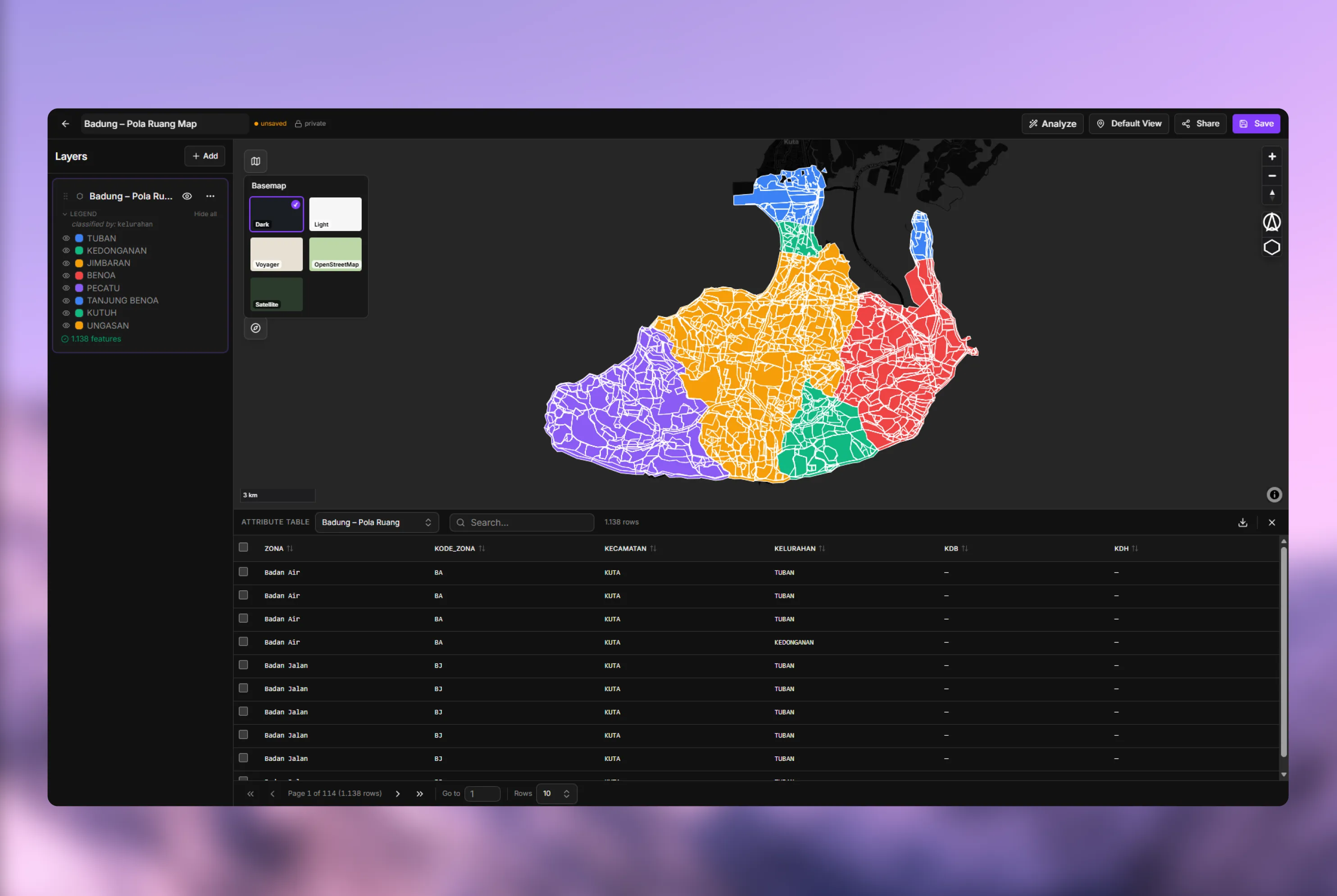
- Webmaps — interactive spatial canvas with visual query builder
- Surveys — GPS-tagged live field data collection
- Progressive Disclosure UI
- 100+ features across 10 capability areas